North Kurdistan · Bakur · Persian, Roman & Sasanian
City Walls of Amed (Diyarbakır)
Every power that held this city for seventeen centuries left its name on the wall. Roman emperors, Arab caliphs, a Kurdish dynasty, Turkmen princes, Ottoman sultans: their inscriptions and their carved lions and eagles follow one another around six kilometres of black stone, above a river and the gardens that have fed the city since before Rome.
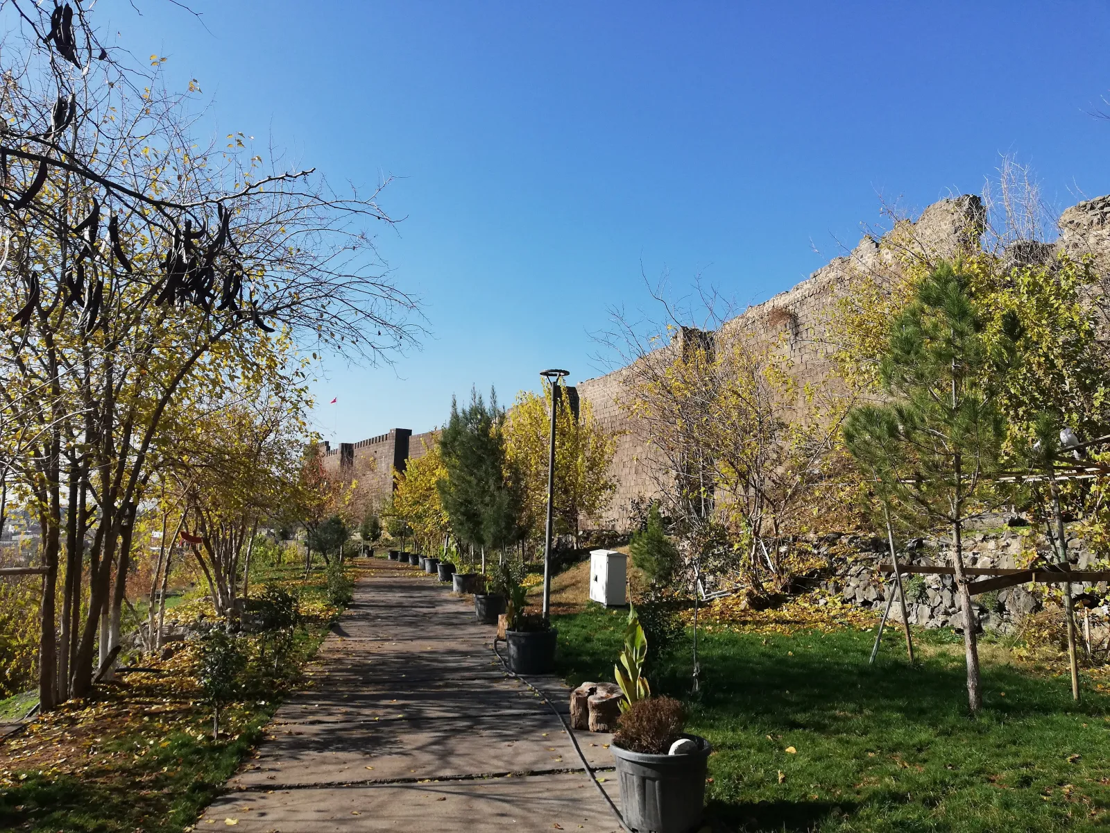
The walls run for
5.8 kilometres
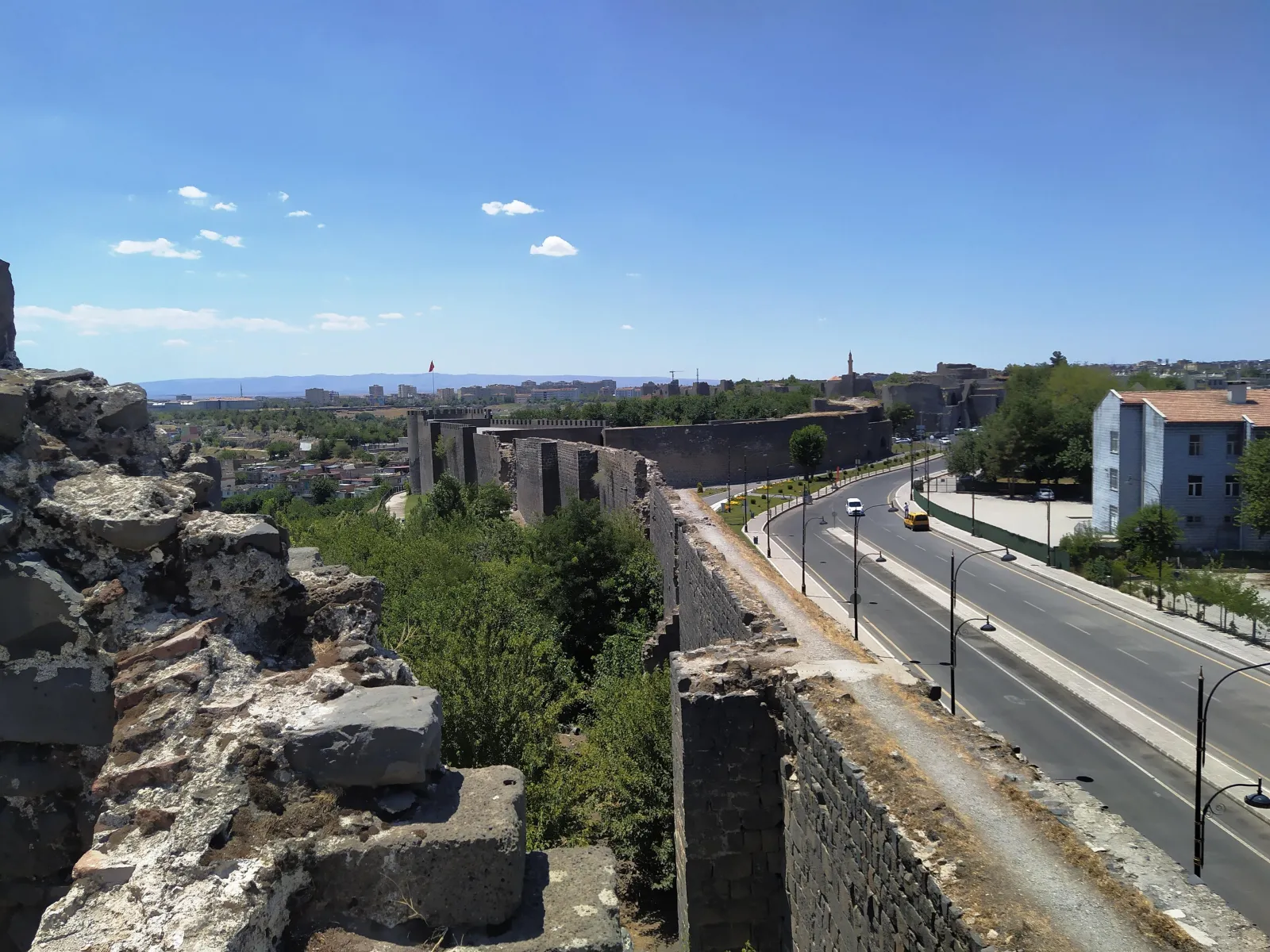
With 82 towers, four great gates and some sixty-three inscriptions, they enclose the whole of the old city, Sur, on its basalt shelf above the Tigris. They are often called the longest complete city walls after the Great Wall of China — a popular claim, not a measured one.
Amida, Amed, Diyarbakır
The Romans called the city Amida and made it the great fortress of their eastern frontier against Persia. The walls as they stand were raised in their present line under the emperor Constantius II around 349 — just in time to hold out, in 359, for seventy-three days against the Sasanian king Shapur II before the city fell and was emptied, a siege described by an officer who was inside, Ammianus Marcellinus. Justinian repaired them in the sixth century; the Arabs took the city in 639.
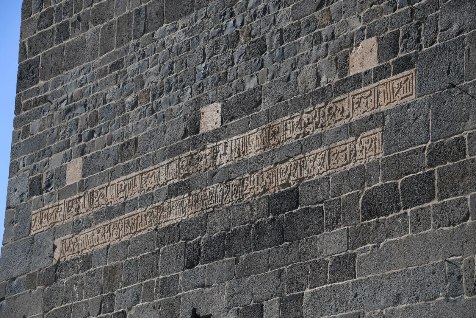
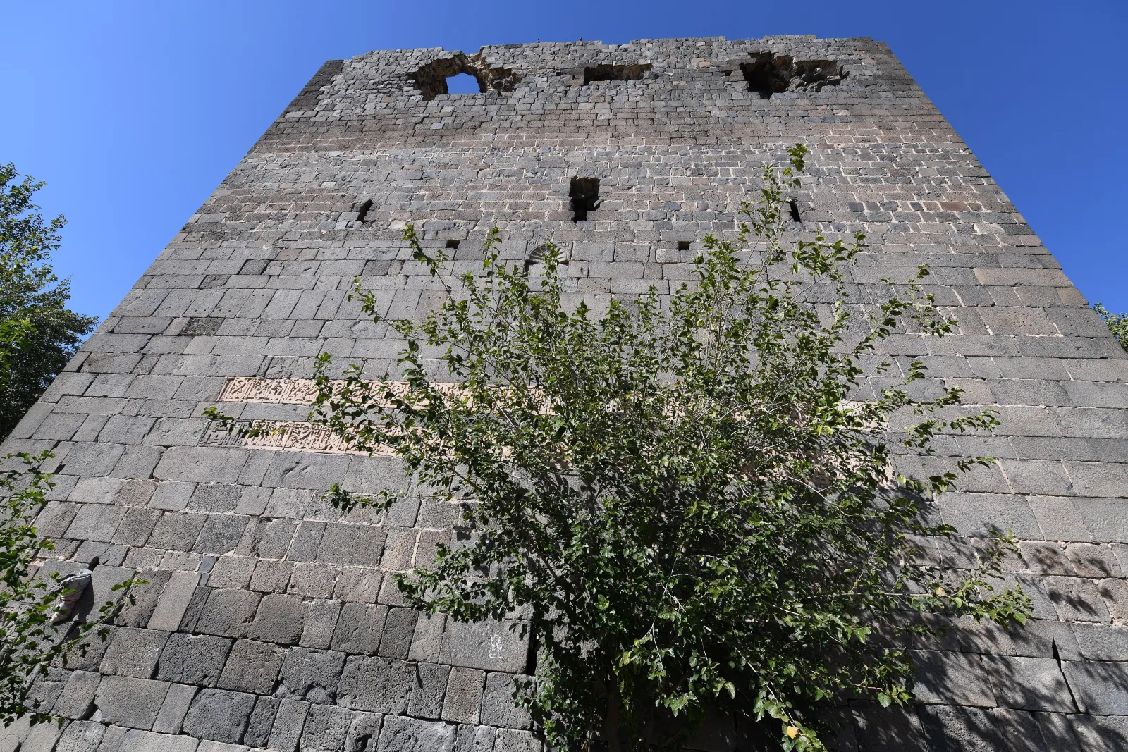
Every ruler after that built, and signed the work. The Abbasid caliph al-Mu\'tadid had stretches pulled down in 899 to punish a rebellious governor; his successor rebuilt the gates in 909, and from then on the towers carry Kufic inscriptions and carved animals — the Marwanid Kurdish emirs of the eleventh century, the Seljuks after 1088, and above all the Artuqids, whose two great bastions of 1208 are among the finest medieval military architecture anywhere.
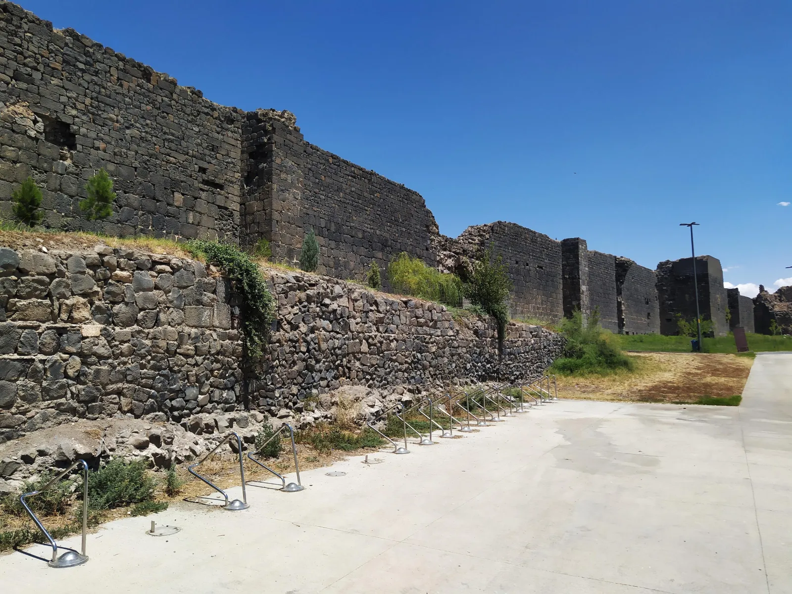
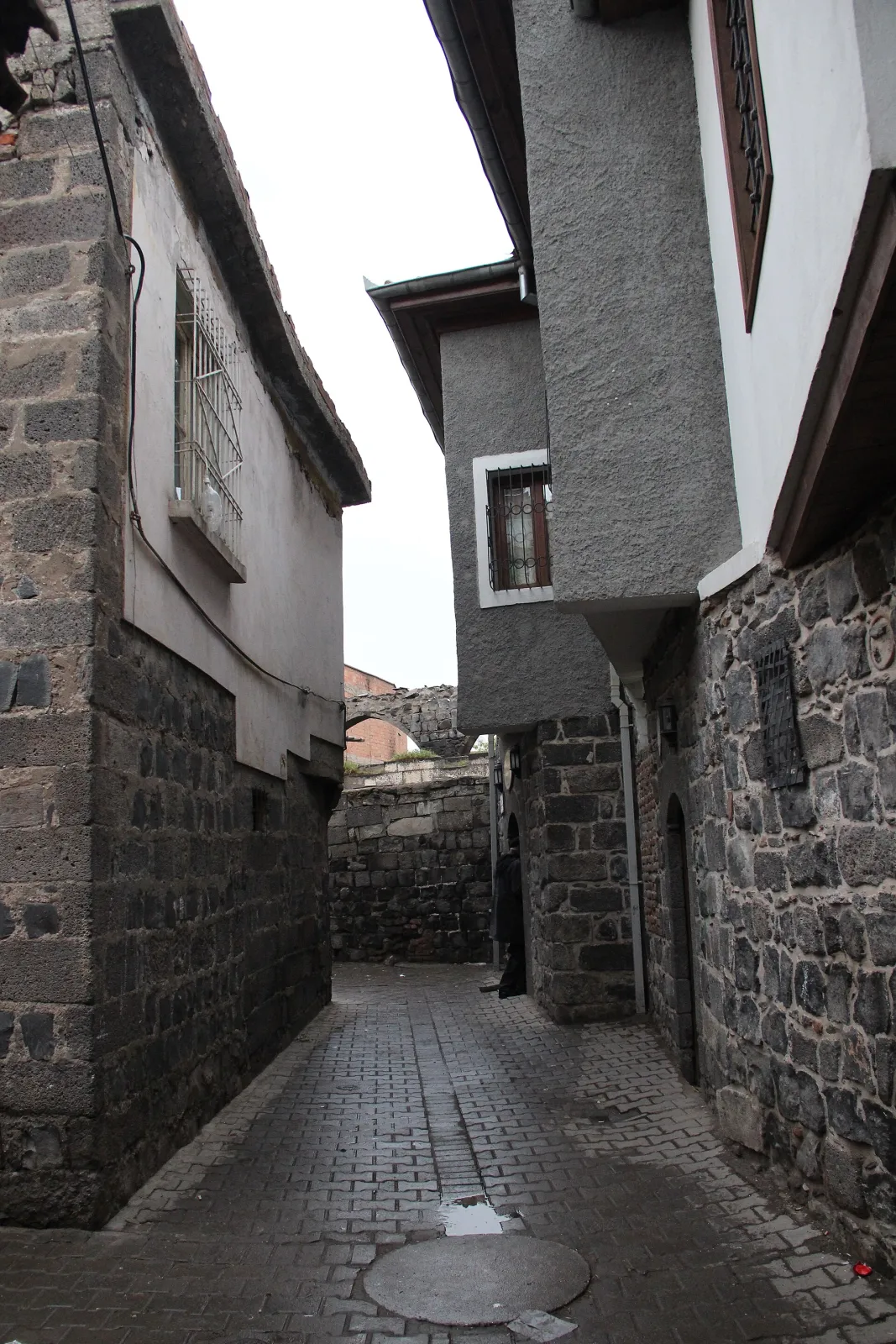
The Ottomans took the city in 1515 and the walls lost their purpose, though not their presence. A breach was cut for traffic in 1930; houses were built against the stone; and between 2000 and 2007 the city cleared them, cleaned the basalt and laid a park along the foot. In 2015 the walls and the Hevsel Gardens below them became a World Heritage Site — months before fighting inside the old city destroyed much of what they enclosed.
- Of wall
- 5.8 km up to — 10–12 m high, 3–5 m thick
- Towers
- 82 and 16 more on the inner citadel
- Great gates
- 4 Dağ, Urfa, Mardin and Yeni
- Inscriptions
- 63 about — Greek, Arabic, Persian, Turkish
- The Hevsel Gardens
- 700 ha between the walls and the Tigris
Written in stone
-
349
Constantius II
The Roman emperor gives the walls their present line; ten years later they hold Shapur II for seventy-three days.
-
6th century
Justinian
The Byzantine emperor restores and extends the fortifications.
-
639
The Arab conquest
Amida becomes Amid, seat of the Diyar Bakr — the land of the Bakr tribe — which later gives the city its Turkish name.
-
899–909
Pulled down, put back
The caliph al-Mu'tadid breaches the walls to punish a rebel; al-Muqtadir rebuilds the Harput and Mardin gates and the first carved animals appear.
-
983–1085
The Marwanids
A Kurdish dynasty rules from Amid and fortifies the south-east of the circuit; their Kufic inscriptions are among the oldest on the walls.
-
1088
Malik-Shah
Under the Seljuk sultan the walls and towers are largely rebuilt; the Great Mosque inside follows in 1091.
-
1206–1209
The Artuqid bastions
The citadel is rebuilt, and the Ulu Beden and Yedi Kardeş towers rise with their double-headed eagles, lions and bands of calligraphy.
-
1515
The Ottomans
Selim I takes the city; the walls stop being a defence and become a frame.
-
2000–2007
Cleared and cleaned
Buildings leaning on the walls are removed and a park laid out along the outer face.
-
4 July 2015
World Heritage
The fortress and the Hevsel Gardens are inscribed together, as one cultural landscape.
Black stone, green gardens
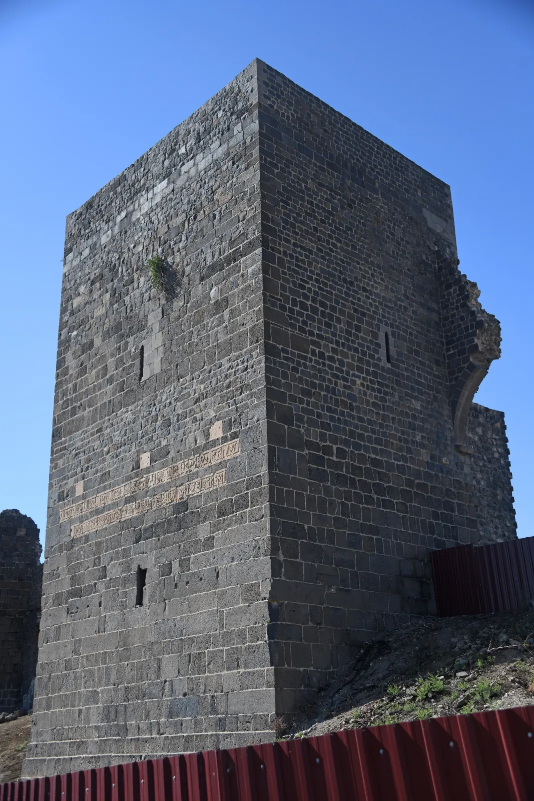
The walls are black because the ground is. Amed stands on a shelf of basalt poured out by the Karacadağ volcano to the west, and its builders quarried the same rock they stood on: dense, almost indestructible, dark grey to black, laid in large squared blocks with a rubble core. Against it the lighter limestone of the inscription bands and the white of the mortar joints read like writing on a slate — which is what the city made of them.
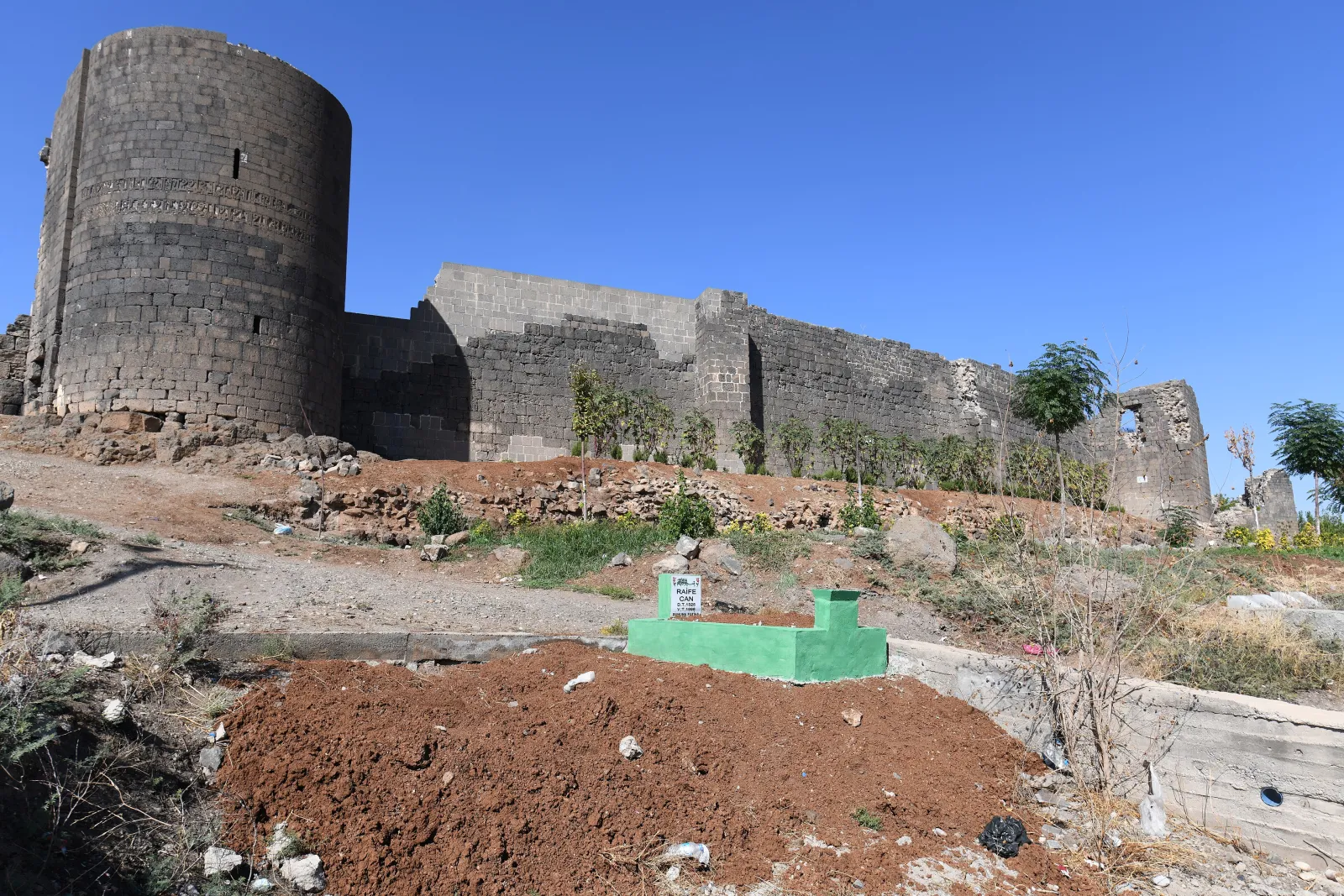
The towers are round, polygonal and square by turns, two to four storeys high, with vaulted chambers, arrow slits and stairs inside the thickness of the wall. The two Artuqid bastions, Ulu Beden and Yedi Kardeş, are the masterpieces: huge cylinders of 1208–09 whose upper courses carry the double-headed eagle of the dynasty, lions, winged sphinxes and a long band of naskh calligraphy, all cut in the unforgiving basalt.
Below the eastern wall the ground drops to the Tigris, and here lie the Hevsel Gardens — seven hundred hectares of orchards and vegetable plots on five terraces, watered by springs under the basalt, first mentioned in Aramaean chronicles of the ninth century BC and destroyed by the Assyrian king Ashurnasirpal II in 866 BC as a punishment. They have been replanted ever since. Walls and gardens were inscribed together because neither makes sense alone: a fortress city, and the land that fed it through every siege.
Did you know?
-
Ammianus Marcellinus, a Roman officer, was inside Amida during the siege of 359 and escaped at night over the wall; his account is the most vivid description of a siege to survive from antiquity.
-
The double-headed eagle on the Artuqid towers of 1208 is two centuries older than the one the Habsburgs and the Russian tsars made famous.
-
The Armenian historian Movses Khorenatsi credited the walls to King Tigranes the Great — a legend, but one that shows how old they already seemed in the fifth century.
-
Nineteenth-century travellers reported watermelons grown on the sandy islands of the braided Tigris below the walls; the gardens also grew mulberries for a silk industry inside the city.
-
Diyarbakır is one of the few cities on earth where you can walk the full circuit of a medieval wall — about an hour and a half along the top where it is open.
-
The 2015 inscription came months before fighting in Sur, the old city, destroyed houses, a mosque and two churches inside the walls; much of the quarter has since been rebuilt in a different form.
Around the circuit
Diyarbakır Fortress and Hevsel Gardens Cultural Landscape
Inscribed under criterion (iv) as an outstanding example of a fortified city and its landscape: the walls with their 82 towers and inscriptions, the inner citadel, and the Hevsel Gardens that linked the city to the Tigris and fed it through every age.
Where it is
Around Sur, the old city of Amed (Diyarbakır), on the basalt shelf above the west bank of the Tigris; the Hevsel Gardens lie between the eastern wall and the river.
- Place
- Amed (Diyarbakır)
- Region
- North Kurdistan · Bakur
- Period
- AD 349, rebuilt through the Middle Ages
- Age
- Persian, Roman & Sasanian
Go on to
Sources & further reading
- Diyarbakır Fortress and Hevsel Gardens Cultural Landscape — UNESCO World Heritage Centre The listing and criterion
- Fortifications of Diyarbakır — Wikipedia History and measurements
- Hevsel Gardens — Wikipedia The gardens below the walls
- M. van Berchem & J. Strzygowski, Amida (1910) The inscriptions of the walls
Chosen and introduced by Aram Mizuri, architect in Erbil